


HomeWater app for iPhone and iPad
Developer: AMP.build, LLC
First release : 23 Jan 2020
App size: 124.65 Mb
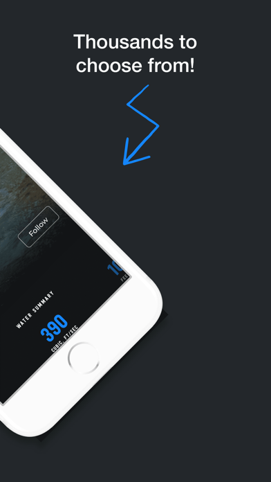
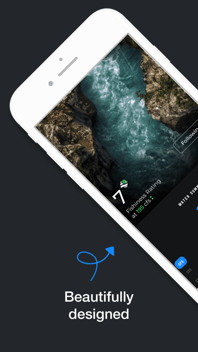
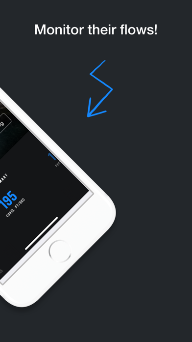
HomeWater is a FREE and beautifully designed waterway monitoring app that allows you to follow your favorite rivers, streams and creeks and track their Cubic Feet Per Second (CFS), water height (in feet), turbidity (how clear the water is), and water temperature for more than 13,000 locations across the US.
We’ve designed this app for anglers, whitewater rafters, boaters, watershed scientists, fish biologists, emergency responders, water managers, irrigators, habitat restoration specialists, conservationists, environmental engineers, transportation agencies, universities, utilities, aquaculturists, hydrologists, underwater welders, divers, consulting firms and more.
Use cases include: outdoor recreation, monitoring floods and droughts; managing water rights and transboundary water issues; operating waterways for power production and navigation; monitoring environmental conditions to protect aquatic habitats; describing impacts to streamflow from changing land and water uses; assessing water quality and regulating pollutant discharges; determining if streams are safe for recreational activities; designing roads, bridges, monitoring drinking water sources and wastewater facilities.
HomeWater’s Key Features:
- Follow and unfollow rivers just like people on social media.
- Favorites list arranged as a top down menu, or interactive cards you can swipe through - left and right.
- Near real-time information (requires data connection).
- River forecasts and projections (when available)
- Live help center and knowledge base.
- Lightening fast search.
- Interactive graphs.
- Cubic Feet Per Second (CFS), temperature, turbidity (water clarity), and height in feet. When available.
- “Fishiness Rating” - designed specifically for anglers, we’ve created an algorithm that will rank a river on how well it is likely to fish that day based on the current environmental conditions and our knowledge of fish behavior.
- Realtime, localized precipitation, humidity, wind, and air temperature info.
- Friendly names for any river. We have the ability to rename gauge stations to match how locals refer to them. If you think one should be renamed, just ask us!
- Sunrise and sunset.
- Moon phases.
- Related water - discover new locations in your area.
- The most comprehensive gauge station coverage (13,000 and counting!) pulled from a variety of sources. If there’s a gauge out there, we probably have it. If you can’t find it - let us know.
- Current observations and recent history in Today, 7 and 11 day views.
- Interactive map that shows where river gauges are located near you.